Playa del Rey in the city's plans
Playa del Rey is covered by the Westchester-Playa del Rey Community Plan, adopted in 2004, which also includes Westchester and Playa Vista. The plan describes the inland edge of the Coastal Zone as following Pershing Drive to Culver Boulevard and then the bluff edge toward Lincoln Boulevard, so most of the beach, lagoon and bluff neighborhoods are inside it, while parcels east of Pershing generally are not.
The community plan is being updated through the city's Planning the Westside program. Draft land use maps were released in October 2025 and environmental scoping meetings were held in March 2026, and the update proposes rezoning the area under the city's new zoning code. Until then the existing zoning applies, and we check the update's status when your plans are filed.
One coastal permit or two
Coastal Commission records list no certified Local Coastal Program for the City's Playa del Rey segments. The City submitted a Del Rey Lagoon land use plan in 1981, but it never took effect because the City did not accept the Commission's modifications, so coastal projects here are reviewed against the policies of the California Coastal Act itself. Outside the dual permit area described below, the City's coastal development permit is the only one required.
Closer to the water, the rules double. Development between the sea and the first public road or within 300 feet of the beach, within 100 feet of a wetland, estuary or stream, or within 300 feet of the top of a coastal bluff falls in the dual permit area, where the Coastal Commission issues a second permit after the City's. ZIMAS shows whether a parcel is in the single or dual permit jurisdiction, and in Playa del Rey that can change from one block to the next.
Why a new home rarely qualifies for a coastal exemption
The city's Coastal Exemption process covers certain improvements to existing single-family homes, but its current form excludes several things a custom home almost always involves. An exemption is only available in the single permit jurisdiction, and never for demolishing or adding a whole primary residence, for remodels that alter 50 percent or more of the major structural parts, or for significant grading in hillside, landslide or special grading areas.
Most of the Playa del Rey parcels we have looked up in ZIMAS carry a BOE Special Grading Area designation, which affects grading permits as well as exemption eligibility. Some parcels also sit in a mapped Calvo Exclusion Area, where state law can waive the coastal permit for a single-family home on a qualifying vacant lot; the criteria are narrow, so we confirm eligibility with City Planning before relying on it. For a ground-up home, we plan on a full coastal development permit from the start and build its review time into the schedule.
The Coastal Bluffs Specific Plan
Homes on the Playa del Rey bluffs, including streets such as Cabora Drive, Rees Street, Fowling Street and Vista del Mar Lane, may fall within the Coastal Bluffs Specific Plan, in effect since 1994. In its Subarea 1, height is capped at 36 feet, or 45 feet on upslope lots, with a 25 foot limit within 10 feet of the front lot line and no extra height for stair or elevator housings on single-family homes. Subarea 3 limits structures within 38 feet of the front lot line to 9 feet in height.
The plan also limits coverage by structures more than six feet above grade to 40 percent of the lot, or 45 percent on lots substandard in both width and area, in those subareas, requires drainage to flow to the street by gravity, and calls for a soils and geology report when more than 10 cubic yards of earth are imported or exported. Near the lagoon, the Del Rey Lagoon Specific Plan, approved in concept in 1982, guides discretionary review, and in past permits the Coastal Commission has generally held beachfront homes on the ocean side of Trolleyway to 37 feet above existing grade.
Methane, soils and the shoreline
Nearly every Playa del Rey parcel we have looked up in ZIMAS is mapped in a Methane Zone or Methane Buffer Zone, though the designation is set parcel by parcel. New buildings in those zones follow Division 71 of the Los Angeles Building Code, which can require gas detection and ventilation measures, and the level of mitigation depends on site testing, so we schedule that testing early. Some parcels are also flagged for adjacency to oil wells.
Site hazards differ sharply between the beach and the hill. City and county hazard maps place many beachfront and lagoon parcels in liquefaction and tsunami hazard areas but not the bluff tops, while some bluff lots are in a landslide area, and some beachfront parcels sit in a mapped sea level rise area. In a 2016 beachfront permit, the Coastal Commission required the owner to assume the risk of coastal hazards and waive future shoreline protection. We bring the geotechnical engineer in before the foundation is designed.
Transportation fees and how we build
Playa del Rey lies within the Coastal Transportation Corridor Specific Plan, which charges a trip fee on new dwelling units that is adjusted every year. Additions and alterations that add no new units are exempt, and replacing a house can earn a full credit for the existing home if it was in use for six consecutive months in the two years before plans are submitted, with LADOT making the final determination.
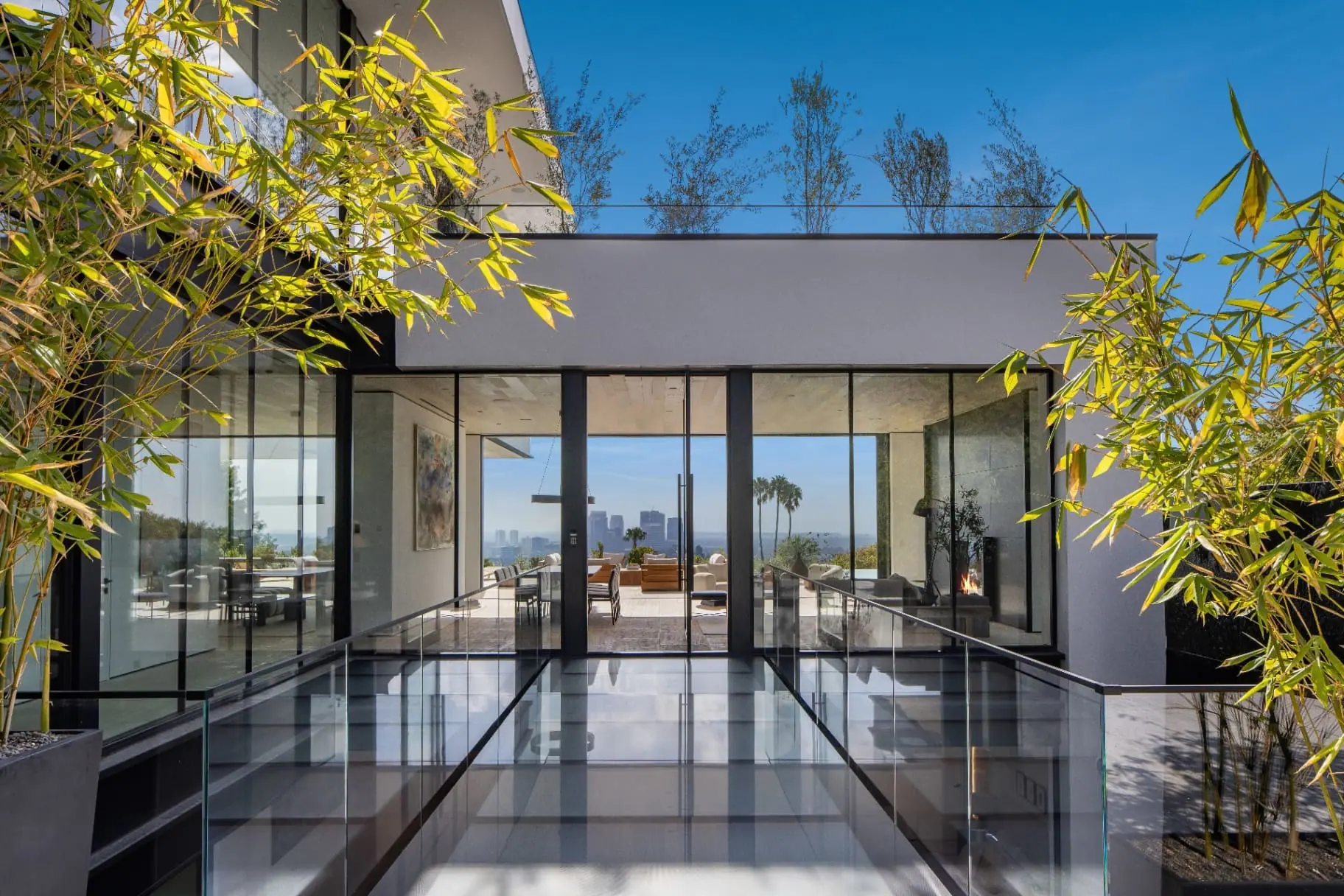
Our Laurel Way custom home in Beverly Hills, a 9,700 square foot design-build project with floor-to-ceiling glass and an infinity pool, shows how we coordinate structure and glazing, and our Laurel View Residence in the Hollywood Hills shows how we build a house in layers to hold a view. A Playa del Rey home calls for the same coordination plus the coastal steps above. You receive a written scope and price before construction begins.